Camp date 8
The first big section of the field geology class is nearly complete. Today the students are working up, refining, reducing and otherwise reviewing huge amount of field data collected over several days. The usual angst questions of “Did I take the correct data?”, “Did I get enough data?”, “How many mistakes did I make?”, and “I wish I could get more data!” are common themes in discussion.
I am continuing to work up blends of new technology and old, proven techniques. Nathaniel Bowditch emphasized the need for log, lead, and lookout in The Practical Navigator. The geological equivalent is the map, clipboard and compass. New GIS and similar mapping technologies offer incredible improvements and possibilities for geospatial location, interpretation and projection, but lead to the temptation of over-reliance. Those technologies are becoming less expensive, but still require an understanding of the basics. More on that in the next blog…
I am reminded of my own field camp days as a new field mapper, struggling with the confidence to actually connect the dots, make the inference leap, and color the map. Somehow it happened back then, and now I get to see others overcoming the same doubts and learning the same skills!
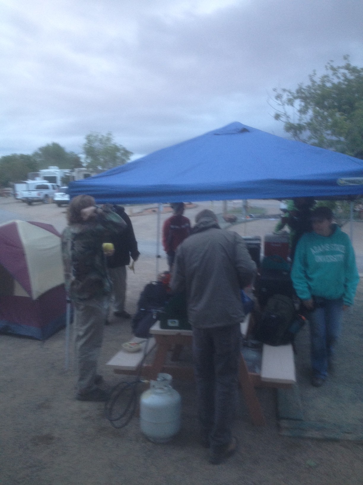
The traditional field shorts were not an option on the first day. Hot chocolate and coffee were very much appreciated.
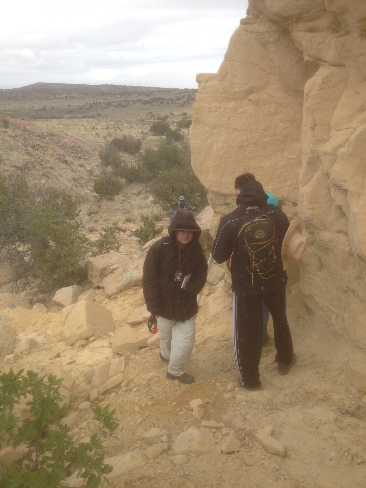
First day on the strat column: Today’s question was “why are we getting snow and ice in May in New Mexico?
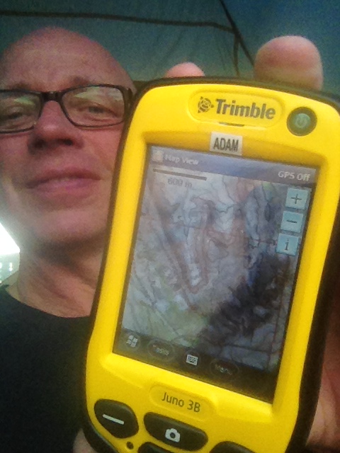
One of two new tech members of the field support crew. The Trimble Juno 3B has a both Terrasync and ArcGIS Mobile installed. Here a base map of Project 3 is shown.
Traveling through the Jurassic in the first big mapping project.

Sharp contacts are good things, especially with good color contrast.

One fault on the 300 ft high West Side wall topped by Dragon’s Back.
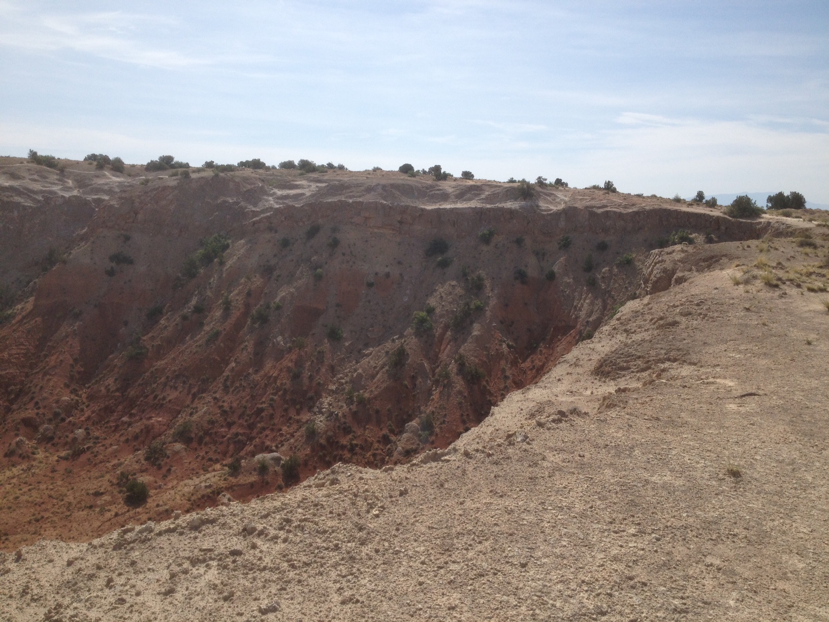
The key fold wrinkles on the West Side!
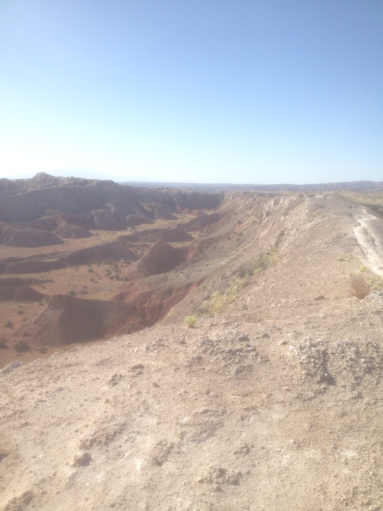
Looking south on Dragon’s Back.
Looking north on Dragon’s Back.
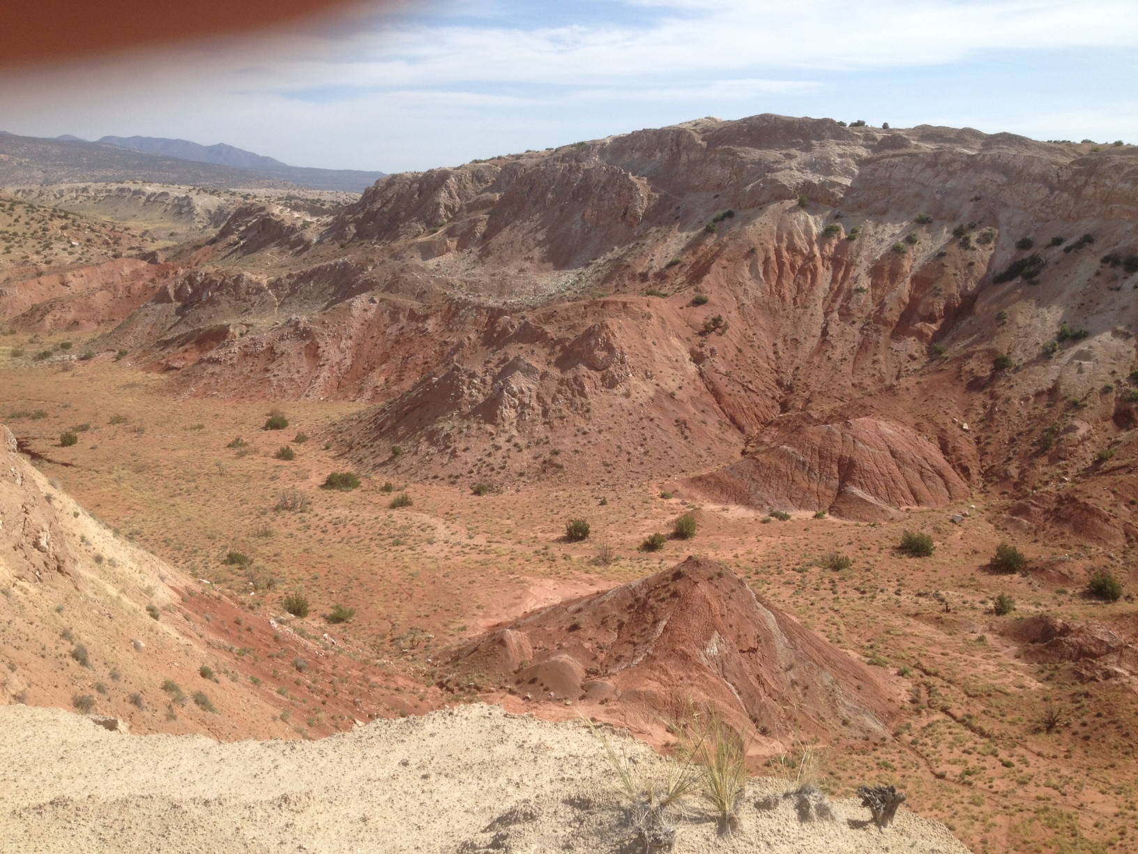
The west central part of the field area, with more knife edges but excellent geology exposure.

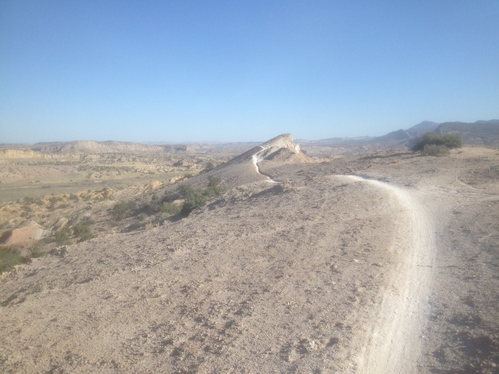
Looking northward to the Keyhole from Brushy Basin Boulevard

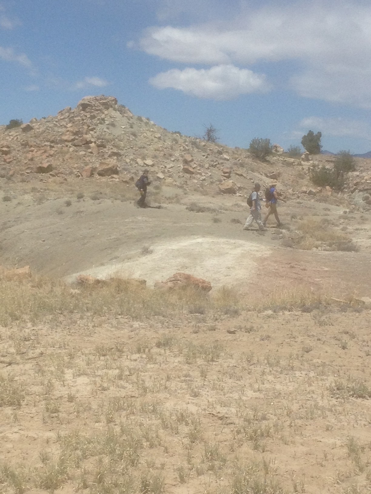
Project 3’s West Side Story being read by 2 geologists in the intermediate distance.